PHOTO
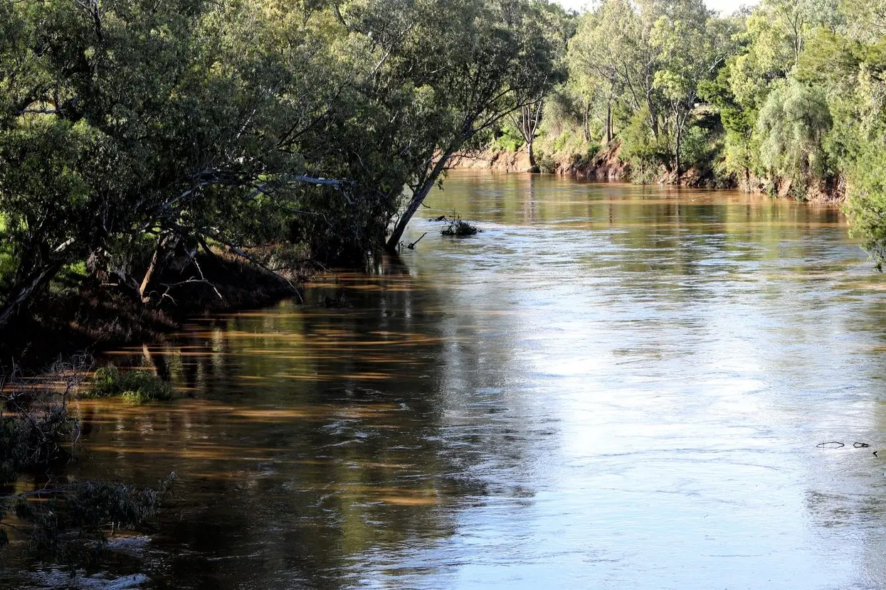
Water management authorities and local communities will now be getting a better understanding of how our most precious resource is moving through the system thanks to 20 high-tech river gauges that have been installed or upgraded at key locations across the Northern Murray-Darling Basin.
The new hydrometric gauging stations provide detailed live information on the volume of flows coming down the rivers, which will help us better understand connectivity, flood risk, and drought preparedness in regional NSW, which is vital in a changing climate, according to Mitchell Isaacs who is the Chief Knowledge Officer at the NSW Department of Climate Change, Energy, the Environment and Water.
“Water is our most precious resource which is why we are investing in the latest technology that will help to paint a clearer picture of the river system, where the water is going, how much of it is coming in, and whether there are water quality issues we need to be aware of,” Mr Isaacs explained.
“These river gauges are equipped with state-of-the-art sensors that have the ability to detect flow changes in near real time, including on floodplains and for farming,” he added.
Importantly, they will also inform the management of water take, assisting decision-makers in developing water sharing plans and compliance measures across the Barwon-Darling, Macquarie, Namoi, Gwydir and Border Rivers catchments.
“The delivery of the hydrometric stations has been a huge collaborative effort across governments and various agencies, so it’s great to see us hit this milestone which is a key part of future Basin planning, as well as (helping our) understanding of what’s happening in our rivers and streams right now.
“We’ve learned a lot over recent years through drought and floods and we collectively made the effort to identify knowledge gaps in our monitoring network and address them, and that is exactly what this work has done,” Mr Isaacs revealed.
The project is part of the Australian Government-funded $35 million Hydrometric Network and Remote Sensing Program, which is being delivered in partnership between the NSW, Queensland and Australian governments. It also includes collaborating agencies such as the Bureau of Meteorology, WaterNSW, and the Murray-Darling Basin Authority.
The new river gauge site locations were selected through extensive consultation over recent years as well as collaboration with a panel of experts from government agencies working closely with the community and traditional owners.
It followed a detailed review of the existing hydrometric network, identifying knowledge gaps and pinpointing where improvements can be made.