PHOTO
Major flooding is impacting parts of Western NSW, with the Paroo River at Wanaaring exceeding its previous record height Monday afternoon, prompting urgent action by emergency services.
At 3pm on Monday, April 7, the river reached five metres – surpassing the 1990 flood event's peak of 4.90 metres – and is continuing to rise due to floodwaters moving south from Queensland.
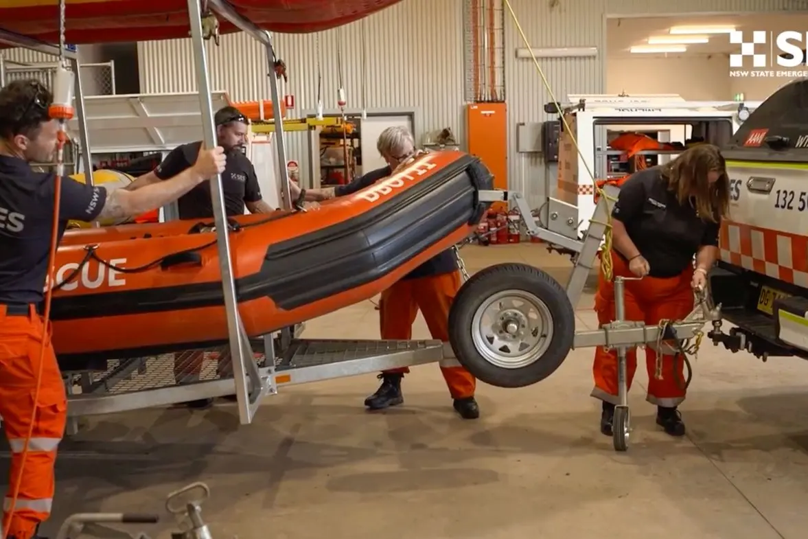
The NSW State Emergency Service (SES) issued a “prepare to evacuate” warning for Wanaaring and surrounding areas late Sunday. With roads now cut off, the only way in or out is by air. Aircraft and SES personnel are stationed in the township to assist residents if evacuation becomes necessary.
NSW SES Western Zone Deputy Incident Controller, Superintendent Annabelle Watson, said residents should brace for extended isolation.
“Floodwater across Western NSW does move slowly due to the typography of the land. It slowly moves across the floodplains, back into water courses as it moves downstream south into the Darling system and eventually into the Menindee Lakes,” Superintendent Watson said.
“Extended isolations of 6-10 weeks will limit access to essential services and supplies. Those who choose to stay could face power outages and loss of communication,” she warned.
Additional SES assets have been deployed to affected areas including Bourke, Walgett and Wanaaring, with aviation and high-clearance vehicles available for emergency response and resupply.
Moderate flooding is also being observed along the Warrego and Namoi rivers, while the Barwon River at Mungindi continues to rise.
Residents are urged to monitor warnings via the Hazards Near Me app or the NSW SES website.
